About Us
Cloud Capture is a geospatial data acquisition and drone services provider. We specialized in remote sensing, aerial mapping and inspection using the latest technologies available. We provide vital services to individuals and entities that require accurate and reliable data.
Our
Services
-
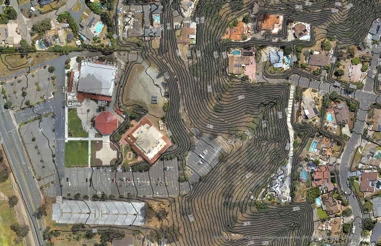
Aerial Imagery
High-resolution photos, video and orthomosaics for clear and detailed site documentation.
-
LiDAR
Light Detection and Ranging for accurate digital models, even in vegetated and GPS-denied environments.
-
GIS
Geographic Information Systems integration, mapping and analysis.
-
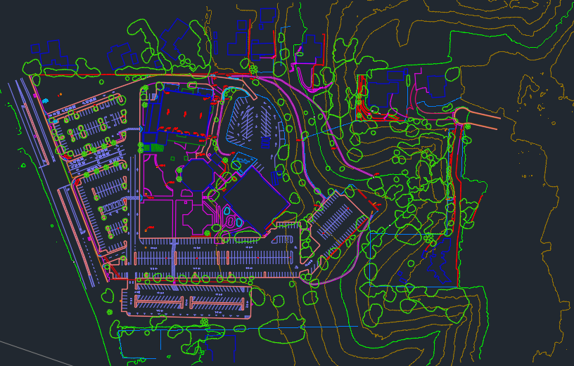
CAD
Planimetric linework and 3D surface models for engineering design and analysis.
Industries
We Service


